Insurers Using Drones and 3D Data to Assess Risk
The leading insurance companies are looking to use 3D geospatial data to make better decisions about risk assessment and claims. For example, does the client really have a backyard pool? Was there really hail damage to their roof and how complex is it? What are the new flood zones due to climate change? To get this data insurers like State Farm are investing in aerial drones and other data collection tools including satellites, planes and even cars.
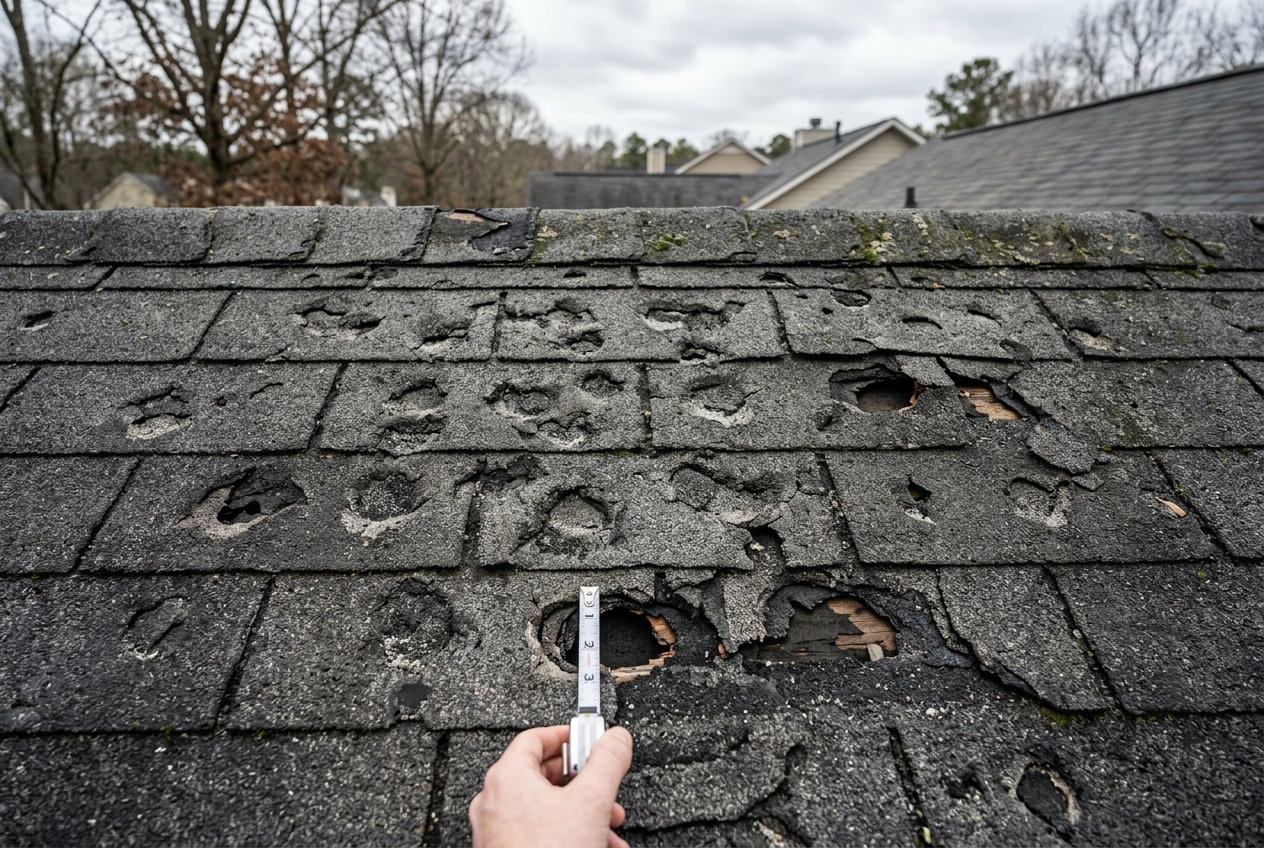
Hail damaged roof
3D Data Processing Bottleneck
Data acquisition with a speedy moving vehicle is fast and streamlined, but processing all that data is painful and slow. People on computers will look at each picture, each scan, each data point and try to make inferences and analytics.
A.I. Solution
Artificial intelligence is a solution to this data bottleneck. An advanced A.I. paired with a high-powered computing cluster can process thousands of kilometers in a single day, making country-wide analysis possible. At Civil Maps, we are the only company in the market using scalable A.I. solutions to process 3D scan data into reports for the insurance industry.